

Save our Una Una Wild River National Park
From source to mouth: the Una and the 15 rivers in its basin, all 657 km protected as one park.
The Una. One of a kind.
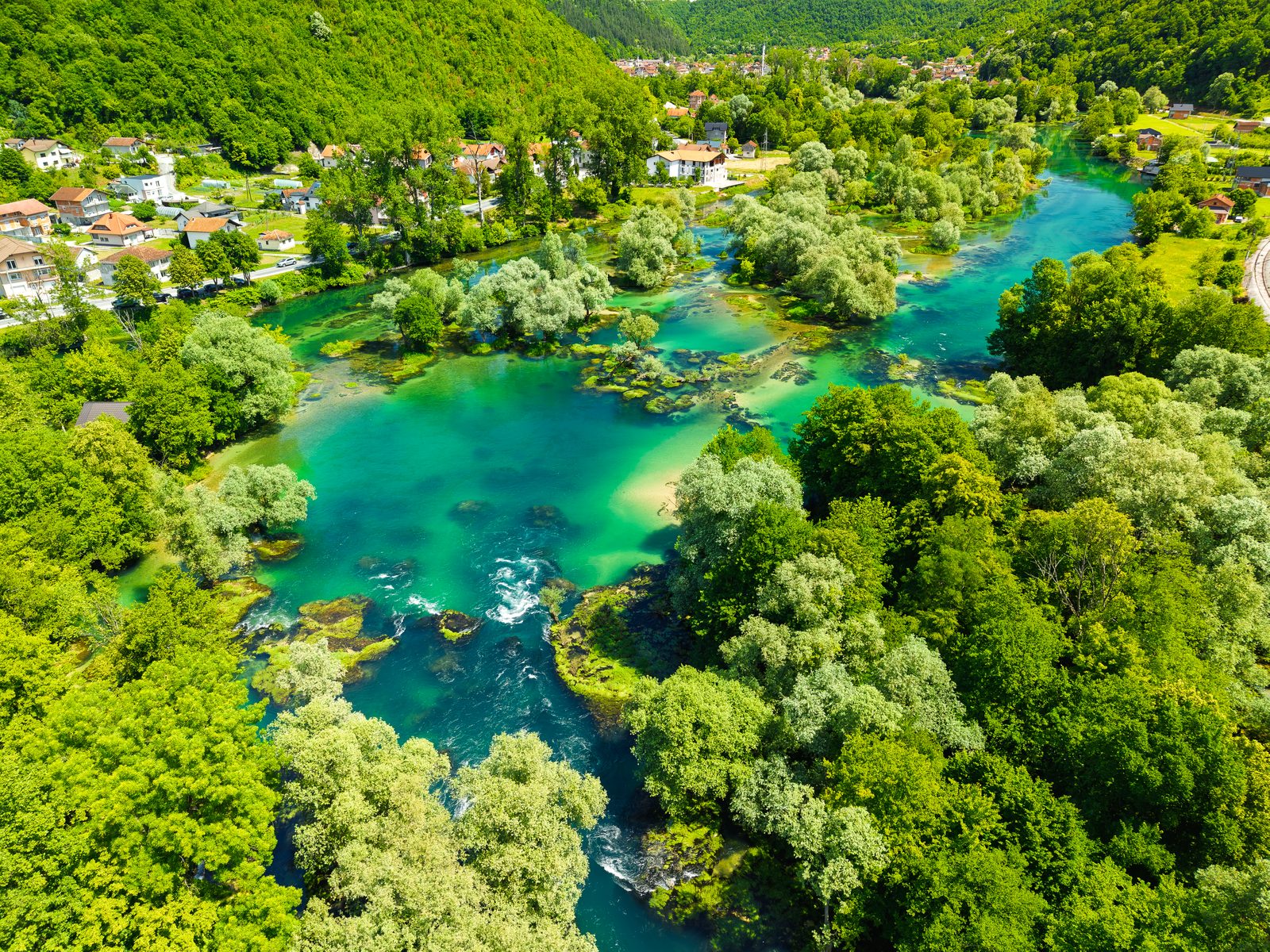
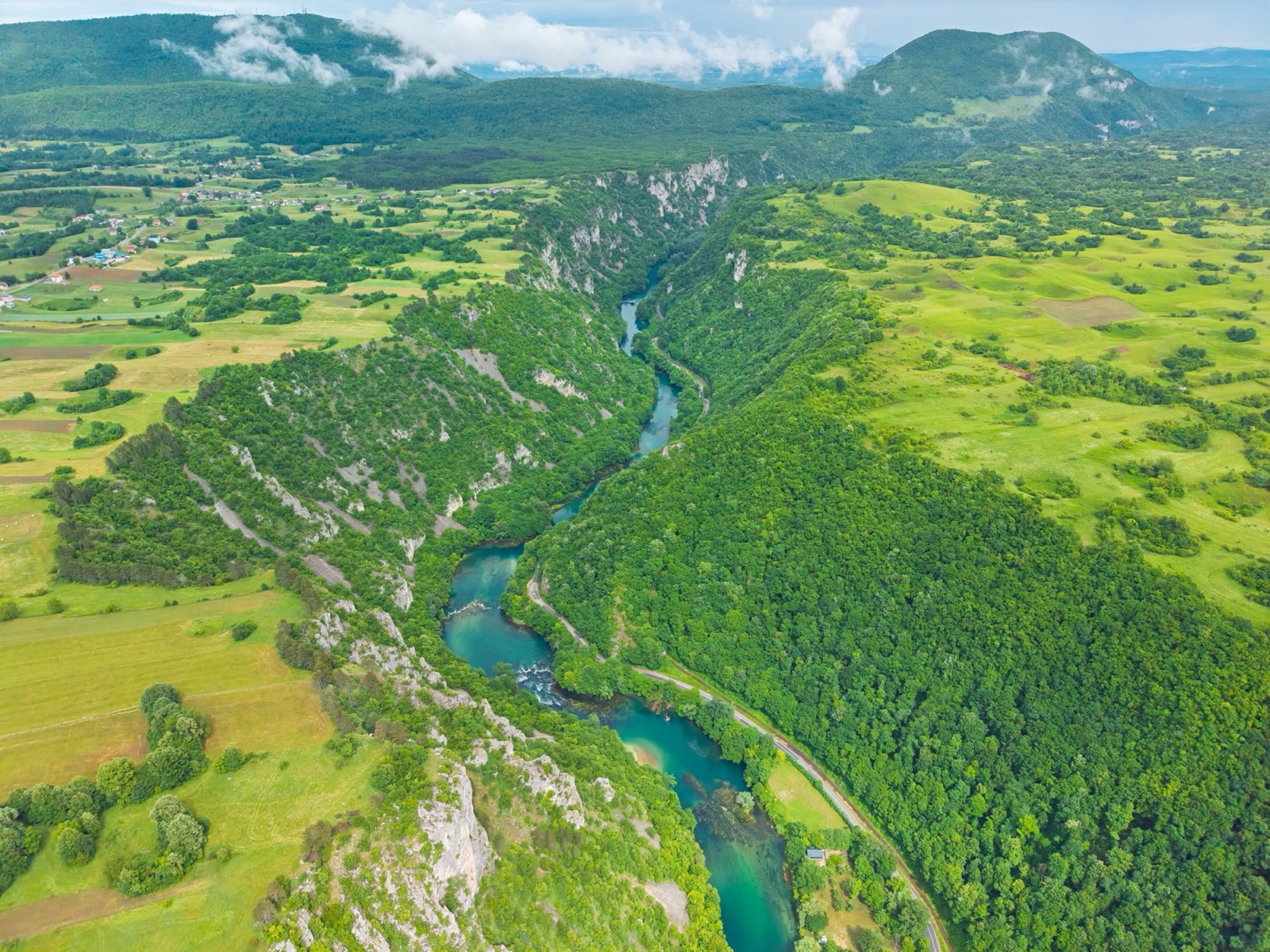
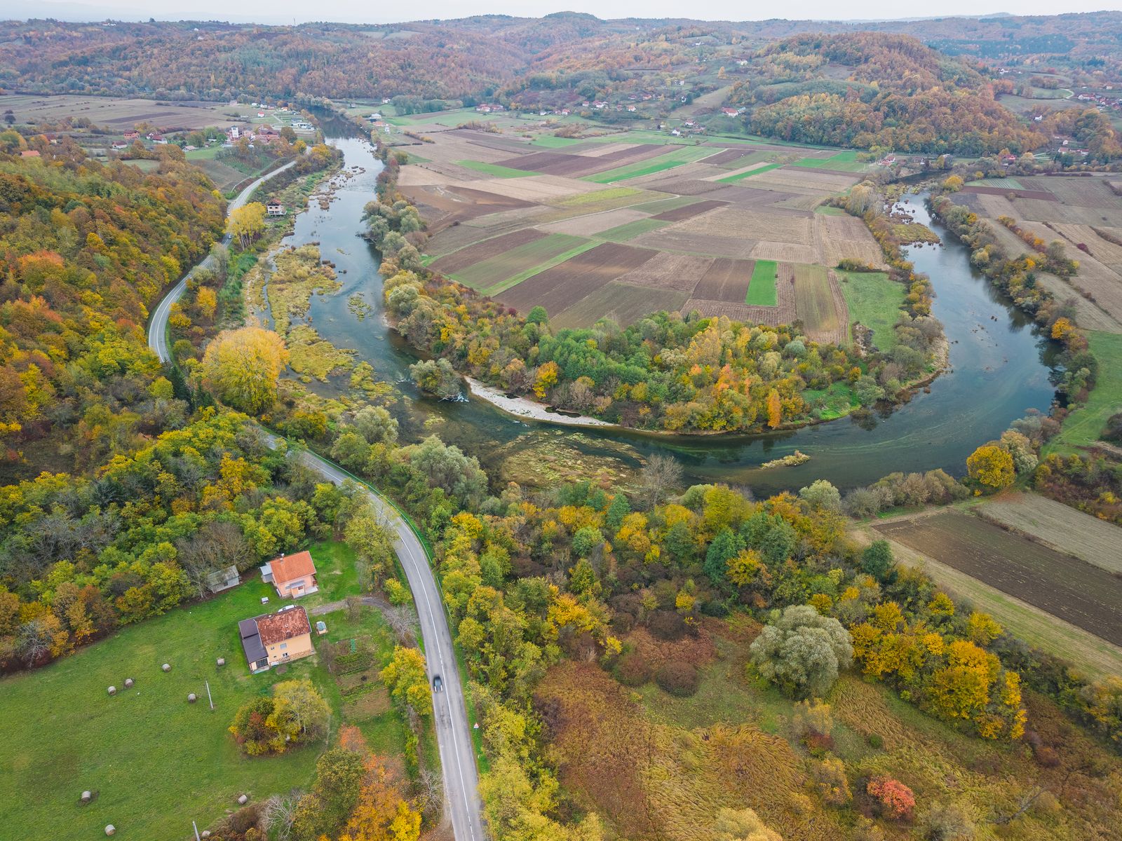
The Una rises from a karst spring more than 200 metres deep, tumbles over the tufa falls of Štrbački buk and Martin Brod, and runs 216 km to the Sava. Together with the rivers that feed it, it is one living system: water, gravel, banks and the people who live along them.
Most of it is still wild: almost 90 per cent of the larger rivers in the basin are natural or only slightly altered. Few rivers like this are left in Europe.
Today only a small part of the Una and its tributaries is protected. The proposal is to make the whole Una, with its basin, a national park.
From park to river
Today only a small part of the Una is protected. The dashed white outlines are the existing Una National Park (2008) and Una Nature Park (2019).
Drag the map to move it. Double-click or use + / − to zoom. On a phone: swipe sideways to move, pinch with two fingers to zoom.
Proposed zonation: Ulrich Schwarz (Fluvius), 2025. Base data: © OpenStreetMap contributors, CORINE Land Cover 2018. Existing protected areas: OpenStreetMap.
Only two parks protect the Una: Una National Park near Bihać (2008) and Una Nature Park in Republika Srpska (2019). Large parts of the middle and lower Una, and almost all the rivers that feed it, have no protection.
One park for the whole river system. Bosnia and Herzegovina is made up of two entities, the Federation of BiH and Republika Srpska, and the Una flows through both. For long stretches it also forms the border with Croatia. A single park would cross all of these lines.
- Una216 km
- Sana141 km
- Japra48 km
- Unac46 km
- Gomjenica44 km
- Mlječanica32 km
- Žirovnica24 km
- Sanica20 km
- Srebrnica14 km
- Sredica10 km
- Krušnica8 km
- Ribnik5 km
- Krka5 km
- Klokot5 km
- Dabar4 km
- Korčanica2 km
Lengths rounded, from the feasibility study.
Detailed zoning mapsFlip through 29 sheets, stretch by stretchA park for a river that flows
A wild river national park protects a whole river, not a single beauty spot: the water, the banks, the gravel bars and the tributaries, from source to mouth, in Croatia and in Bosnia and Herzegovina. The river stays free to flow, to flood and to shift its bed.
The park is divided into zones. The core zones get no new dams or barriers. In the other zones, life along the river carries on, under rules that protect the water.
Swimming and fishing stay
Swimming is generally allowed even in the core zone, with possible seasonal limits at sensitive spots. Fishing continues with a licence, alongside protected fish sanctuaries.
30 metres for the banks
The study proposes a forested 30-metre strip along both banks, with no new buildings, to keep concrete away from the water.
Towns on the river
Bihać, Bosanska Krupa, Sanski Most and Prijedor get urban protected areas, and the same model is proposed for Novi Grad, Kozarska Dubica and Kostajnica, so the river running through town stays part of the park.
Home of the huchen
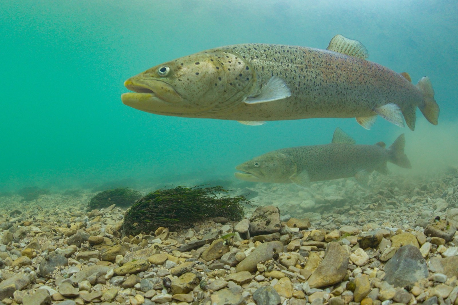
The Una holds one of the last large, self-sustaining populations of huchen (Hucho hucho), the Danube salmon, in Europe, with more than 100 km of unbroken habitat.
Beyond this iconic predator, the river basin supports a thriving web of life. And while science has already documented hundreds of species here, these recorded figures are just a snapshot of a much richer reality:
Olm
Proteus anguinusA blind cave salamander of underground waters, recorded in the Krušnica.
Eurasian otter
Lutra lutraNeeds clean, undammed rivers with natural banks.
Stone crayfish
Austropotamobius torrentiumA sign of clean water in small tributaries.
Black Stork
Ciconia nigraA shy bird of forested river valleys.
Kingfisher
Alcedo atthisNests in steep earth banks.
Wolf, bear, lynx
Canis lupus · Ursus arctos · Lynx lynxLarge carnivores in the forests of the basin.
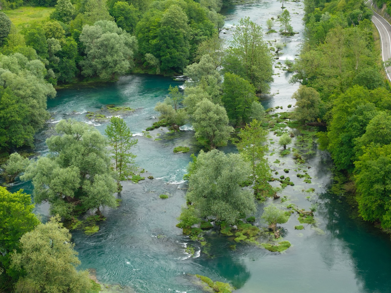
Most of the Una is still wild. These are the main threats.
Five threats to one river basin
Hydropower
36 new hydropower plants are planned in the river system. Most do not yet have a concession. Establishing the wild river park would stop these plans before they go ahead.
Concrete on the banks
Along the rivers of the proposed park, not counting the main villages and towns, 1,380 buildings already stand within 30 metres of the water, 695 of them within 10 metres. At least 600 have gone up since 2012. Replacing natural riverbanks with concrete strips away the soil and plants that filter pollutants, prevent erosion, shade the water, and buffer local communities against flash floods.
Wastewater
Sewage from towns and fish farms flows into the river. Cazin has no treatment plant, and in August 2025 the Una near Bihać was visibly polluted.
Nuclear waste
Croatia plans a radioactive waste site at Trgovska Gora, on the lower Una, right at the border with Bosnia and Herzegovina. It would threaten the health of 250,000 people in 13 municipalities. The project currently appears to be on hold.
A river in pieces
Only part of the Una is protected today. Without protection for the whole system, each river has to defend itself.
A park for the people along the river
Clean water
A free-flowing river protects the springs and groundwater people drink.
Jobs
The park would employ at least 42 people, including 20 rangers, across Bosnia and Herzegovina and Croatia.
Tourism that stays
Una National Park already welcomes more than 130,000 visitors a year. A larger park gives people reasons to stay longer.
Access to EU funds
A protected river of European importance opens the door to EU funds such as the Instrument for Pre-accession Assistance (IPA) and, on the Croatian side, the LIFE programme for nature and climate, for sewers, treatment plants and running the park.
Rivers unite
The Una ignores inter-entity lines and state borders. One park means shared management of the whole river, from its source in Croatia to the Sava.
People decide
Two rounds of public consultation: the first up to the park's declaration, the second while the management plan and detailed zones are drawn up. What people say will shape its boundaries and rules.
The science behind the proposal
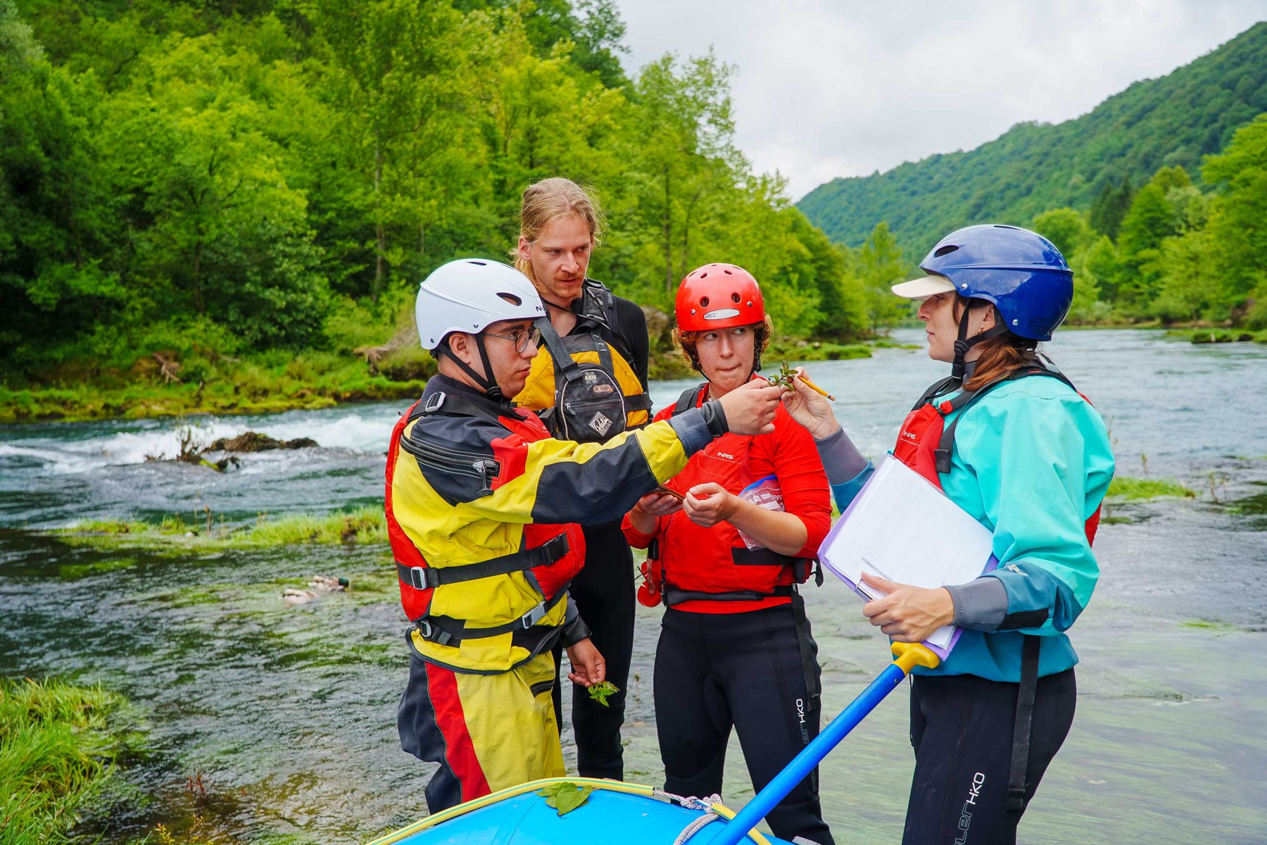
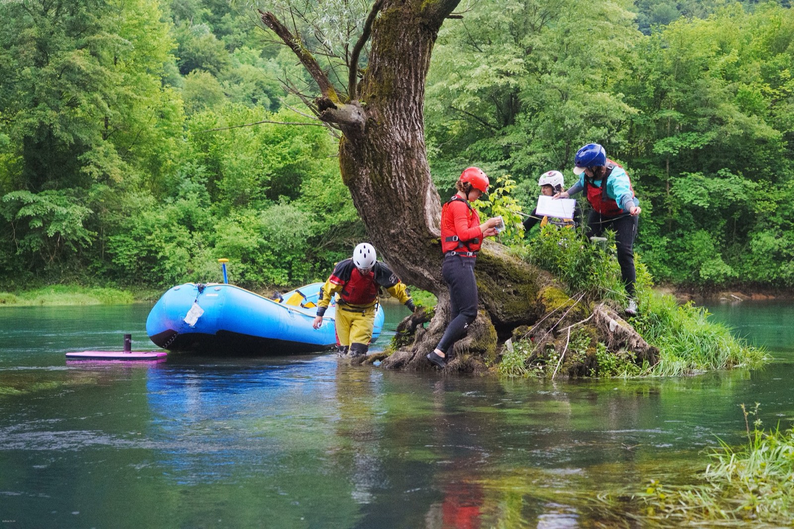
From 31 May to 7 June 2026, more than 70 scientists and students surveyed the Una and the rivers that feed it: fish, crayfish, mussels, birds, bats, insects and water quality.
- Huchen found in the main river and far upstream
- The rare thick-shelled river mussel Unio crassus in the Japra and the Una
- Stone crayfish in a tributary of the Sanica
We will present the first results in a webinar on 18 November 2026.
Save our Una
Five evenings, five towns
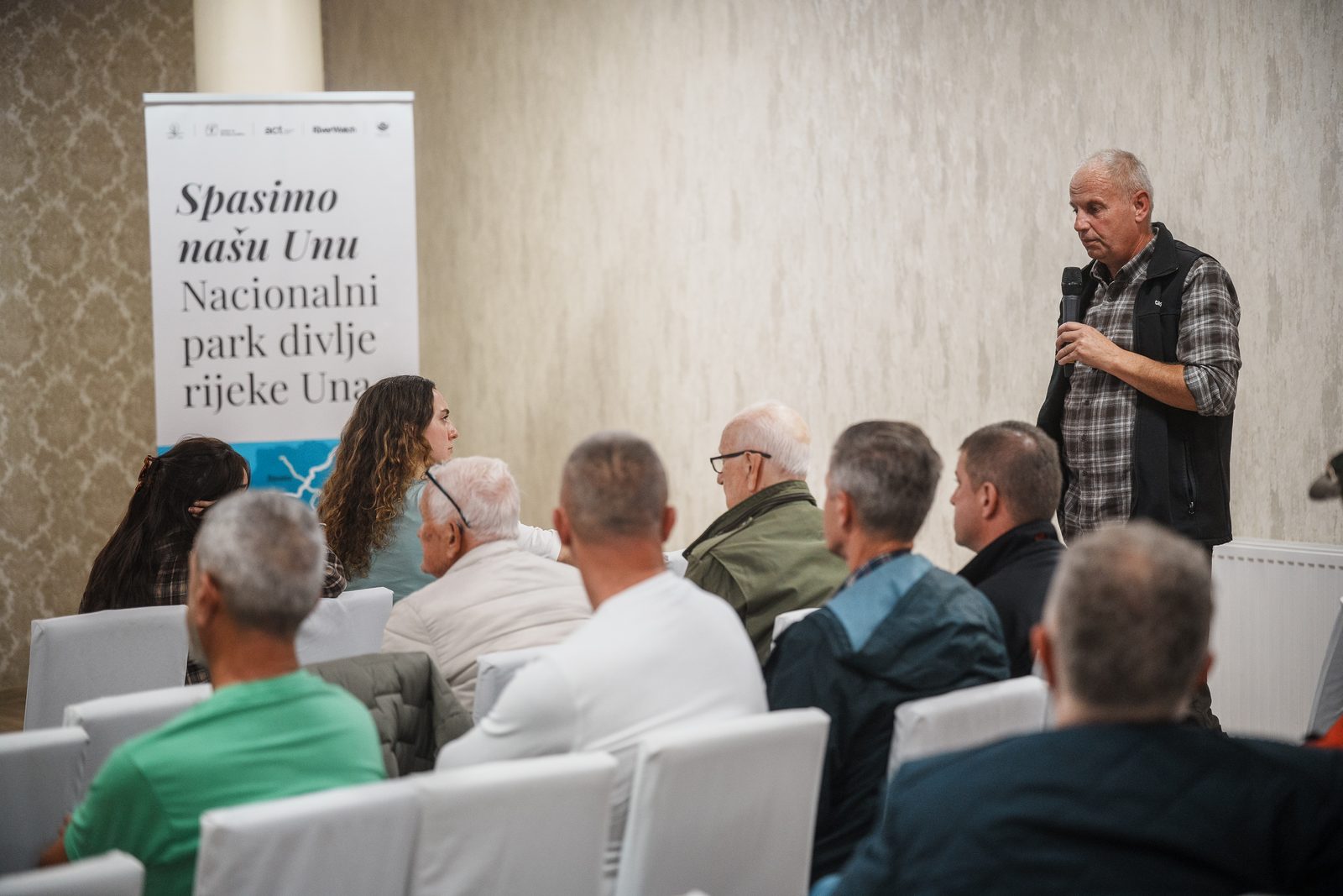
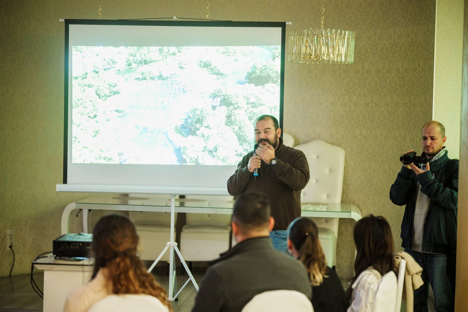
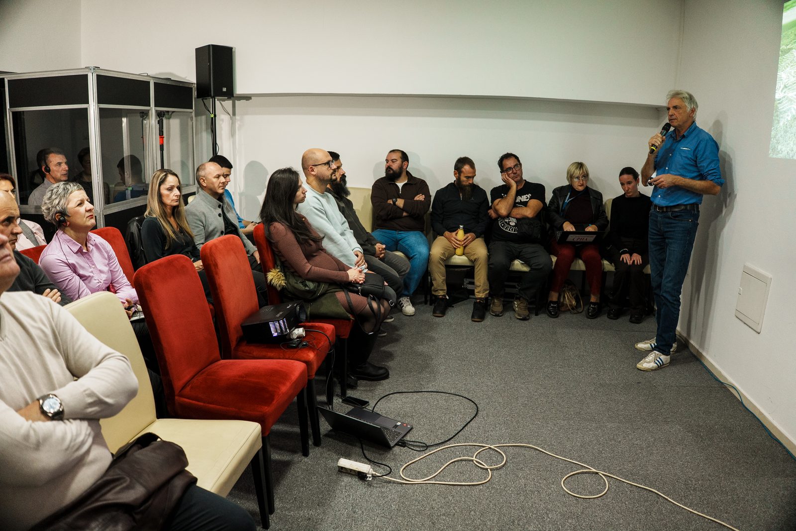
In the last week of October we took the proposal to the towns along the river. Ulrich Eichelmann (RiverWatch) presented the feasibility study, Pooja Sharma (Earth Law Center) spoke about the rights of nature, and then the floor was open. Green Team, ACT and the Center for Environment hosted every evening.
Bihać
Hotel Park
Bosanska Krupa
Hotel Eki
Novi Grad
KOC
Sanski Most
Hotel Asi
Prijedor
Hotel Le pont

What we heard
- Building on the riverbanks, much of it illegal, and too few inspectors to stop it.
- Pollution from landfills and sewage, and worry about health.
- Trgovska gora, the radioactive waste site Croatia plans on the lower Una.
- In Sanski Most and Prijedor: does a park named after the Una include the Sana? It does, 141 km of it.
- Fishermen, who already look after the river, asked how the study can help them defend it.
Thank you to everyone who came and spoke up.
The road to a park
The feasibility study is complete; we are presenting the proposal to the communities and institutions along the river.
Protection study; the first round of public consultation begins.
Declaration of the national park and end of the first round of consultation; work starts on the management plan.
Park authority, staff and rangers in place; management plan with detailed zones; second round of consultation.
Second round of consultation concluded; information points for visitors.
Studies and documents
- ENOpen
Una Wild River National Park: Feasibility Study
Sovinc, Kovarovics, Schwarz · 2026 · PDF · 32 MB - BS · ENOpen BSOpen EN
Feasibility Study: summary
2026 · PDF · BS 27 MB · EN 5 MB - ENOpen
Zoning maps, stretch by stretch
Annex of the study · 29 map sheets · PDF · 6 MB - EN · BSComing soon
Una Science Week: first results
Webinar, 18 November 2026